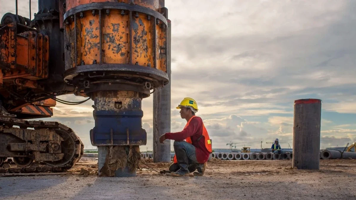
Plymouth sits on a complex geological boundary where Devonian limestone meets Middle Devonian slates, with thick tidal estuary deposits along the Plym and Tamar. The British Geological Survey maps show significant thicknesses of superficial head deposits across the city—weathered material that can amplify ground motion during seismic events. BS EN 1998-1 requires a VS30 value to determine the correct ground type for seismic design, and guessing it is not an option when building control reviews your submission. Our team runs surface-wave surveys across Plymouth sites weekly, from Millbay regeneration plots to university expansion schemes, delivering site-specific shear wave velocity profiles that satisfy Eurocode 8 requirements without the cost and time of deep boreholes. Many engineers combine this data with a CPT test to correlate dynamic properties with direct penetration resistance, giving a more complete picture of the ground model. For sites near Sutton Harbour where made ground is common, the MASW line can also flag velocity inversions that standard SPT logs would miss.
Measured VS30 in Plymouth ranges from 180 m/s in alluvial deposits to over 800 m/s on limestone—a factor of four that changes your seismic design category.
Methodology applied in Plymouth
Typical technical challenges in Plymouth
The tidal influence on Plymouth's groundwater regime creates a variable saturation profile in the near-surface soils, and shear wave velocity is sensitive to effective stress changes. A survey run in February after heavy rain can return a VS30 value 10–15% lower than the same site measured in August. For this reason we always record the groundwater level at the time of testing and note recent rainfall in the report, so the engineer interpreting the data understands the boundary conditions. Sites on the estuarine alluvium around the Plym estuary present a particular challenge—the soft clays and peats can produce VS30 values below 200 m/s, placing the site firmly in Ground Type D or even E territory. This has direct cost implications: the foundation design may need to switch from shallow pads to piles, and the seismic base shear calculation changes substantially. We have seen planning conditions on Barbican-area developments specifically require a measured VS30 profile before foundation design can be signed off, precisely because the assumed ground type was challenged by building control.
Our services
Our Plymouth MASW survey package covers the full workflow from site preparation through to a fully interpreted report that your structural engineer can use directly in the seismic design. Every survey is led by a geophysicist with experience on South West ground conditions.
MASW Survey (Active Source)
24-channel acquisition with sledgehammer source, ideal for sites up to 15–20 m depth where ambient noise is manageable. Typical survey takes 2–3 hours on site.
Passive MASW / ReMi
Uses traffic and microtremor noise to resolve deeper velocity structure. Essential for urban Plymouth sites where active source energy attenuates quickly in soft ground.
VS30 Site Classification Report
Full interpretive report with dispersion curves, 1D shear wave velocity profile, VS30 calculation, and Eurocode 8 ground type determination. Ready for building control submission.
Combined Geophysical Package
MASW plus electrical resistivity or seismic refraction for sites needing both dynamic properties and stratigraphic mapping. Common for large mixed-use developments on the Plymouth fringe.
Quick answers
How much does a MASW survey cost in Plymouth?
A standard MASW survey for VS30 classification in Plymouth typically ranges from £1,490 to £2,660 depending on the number of array positions, whether passive recording is needed, and the site access conditions. A single-array survey on a cleared, level plot is at the lower end. Multiple arrays across a larger site, or surveys requiring traffic management in central Plymouth locations, push toward the upper end. Every quote includes the full interpretive report ready for building control.
How long does it take to get VS30 results?
Fieldwork on a standard Plymouth site takes half a day. We provide the draft VS30 value and ground type classification within three working days, with the full signed report following within a week. We can expedite to 48 hours for projects on a tight programme deadline, which happens regularly when foundation design is waiting on the seismic parameters.
Do I need a MASW survey for a small residential extension?
For most domestic extensions and single houses in Plymouth, a full MASW survey is not normally required—the standard ground type assumptions in Approved Document A and BS EN 1998-1 are usually adequate. But if your site is on the alluvial deposits near the Plym or Tamar estuaries, or if the building control officer has flagged seismic concerns, a measured VS30 can save you from over-designing the foundations based on a conservative assumption.
What is the difference between MASW and seismic refraction?
Seismic refraction measures compressional wave (P-wave) velocity and is excellent for mapping bedrock depth and rippability. MASW measures shear wave (S-wave) velocity, which is what Eurocode 8 needs for ground type classification. The two methods are complementary—we often run a refraction line alongside MASW on Plymouth's limestone sites because the P-wave velocity helps constrain the interpretation where the bedrock is shallow and the shear wave velocity gradient is steep.