A developer came to us last year with a site off Embankment Road. Steep cutting behind, old fill underneath. The planners wanted a slope stability study before they’d touch it. We see this pattern across Plymouth all the time—the topography here doesn’t forgive shortcuts. Between the limestone headlands around the Hoe, the Devonian slates further north, and pockets of head deposits in the river valleys, almost every multi-storey project triggers a stability question. Our team ran a back-analysis of existing cuttings using strength parameters from lab tests and combined it with a CPT investigation to pin down the slip surface depth. Once the factor of safety came back above 1.4 for the design case, the planning condition was discharged within the week.
A stability model is only as good as the groundwater assumption behind it—get the pore pressure wrong and the rest is just arithmetic.
Methodology applied in Plymouth
Typical technical challenges in Plymouth
Compare two sites: one on the limestone ridge near the Barbican, another on the valley side overlooking the Plym. The first might stand near-vertical in jointed rock with a low risk of deep-seated failure, but the second will fight you every metre with creeping head deposits and groundwater perched on weathered bedrock. We’ve seen the difference firsthand. The biggest exposure in Plymouth isn’t a single failure mode—it’s assuming the ground is uniform. Slopes that look stable in August can reach critical pore pressure by January. Progressive failure in overconsolidated clays, softening at the toe from surface water, and uncontrolled excavations at the base of existing slopes are the repeat offenders. If you’re cutting into a hillside in St Budeaux or building upslope of an existing retaining structure, the stability envelope needs to be defined before the first machine arrives.
Our services
We tailor the slope stability workflow to the geology and the planning context. Below are the investigation stages we typically combine for Plymouth projects.
Desk study & walkover
BGS mapping review, historical landslide records for the Plymouth area, and site reconnaissance focused on slope morphology and drainage.
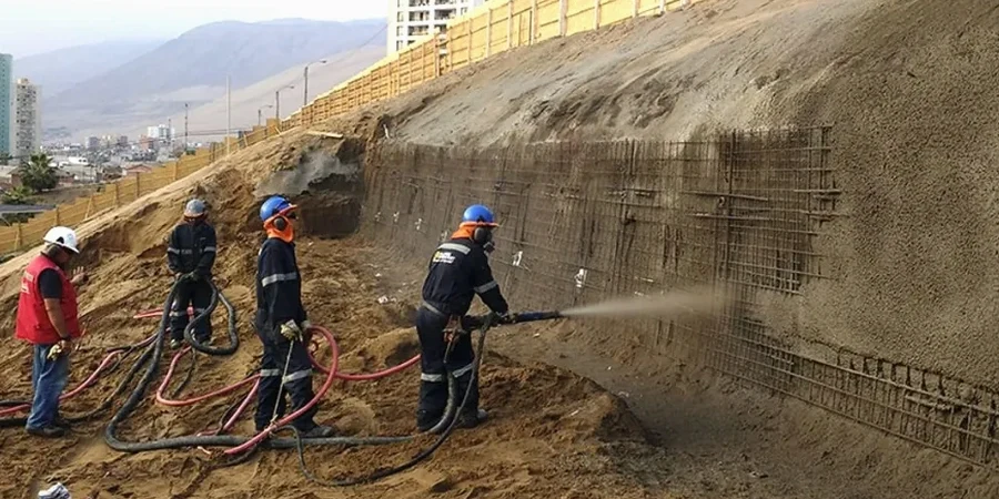
Ground investigation
Rotary cored boreholes with fracture logging, trial pits for weathering profile mapping, and installation of standpipe or vibrating-wire piezometers.
Laboratory testing
Multistage direct shear, ring shear for residual strength, and triaxial with pore pressure measurement on samples from the weathered interface.
Stability modelling
2D limit equilibrium analysis (Slide2 or Oasys Slope) with sensitivity checks on groundwater; 3D modelling for complex landslide geometry.
Quick answers
What triggers a slope stability assessment under Plymouth planning conditions?
The local authority typically requests one when a development is within a slope gradient threshold—often 1:4 or steeper—or when the site is mapped on a BGS landslide polygon. We’ve seen it applied consistently for new builds on the valley sides of the Plym and Tamar, and for any excavation deeper than 2 metres near an adopted highway.
How much does a slope stability analysis cost for a typical Plymouth project?
For most single-slope assessments that include a ground investigation, lab testing, and a stability report, the cost ranges from £940 to £3,520 depending on the slope height, number of sections analysed, and whether piezometer monitoring is needed.
How long does the full process take from investigation to report?
A straightforward assessment with a single borehole and lab testing takes about four to five weeks. If we need to install piezometers and monitor groundwater over a wet season, that extends the timeline by two to three months. We front-load the planning-critical data so the report can be submitted in phases if needed.
Do you use UK-specific partial factors or just generic software defaults?
We apply the UK National Annex partial factors to BS EN 1997-1, not generic defaults. For slope stability, that means Design Approach 1 with both Combination 1 and Combination 2 checked. The software defaults in many programs are calibrated for North American practice, so we override them to match the UK framework.
Can you model the effect of vegetation removal on a Plymouth slope?
Yes—vegetation removal changes the pore pressure regime and removes root reinforcement from the near-surface. We model this as a reduction in apparent cohesion in the upper 1–2 metres and a shift in the groundwater profile. It is a common scenario when a wooded slope in areas like Plympton is cleared for development.